

Licensed land surveyors, Sevierville, TN

Know exactly where your land begins and ends.

Boundary surveys, elevation certificates, construction staking and plats for Sevier County and the mountains around it. A walk-in office in Sevierville, and a plat you can rely on.

926 Center View Rd, Sevierville. Mon to Fri, 8 to 4. We reply by the next business day.

A real office you can walk into.

Address926 Center View Rd, Sevierville, TN 37862
HoursMonday to Friday, 8 AM to 4 PM
Phone(865) 453-7970
DirectionsOpen in maps

Not sure what to ask for?

Most people have never ordered a survey before. Answer three questions and we will tell you which one fits, in plain English. Then request it in one more tap.

Prefer to talk it through? (865) 453-7970, Mon to Fri, 8 to 4.

Which survey do I need?

Three taps. No email needed to see the answer.

What is going on with your property?
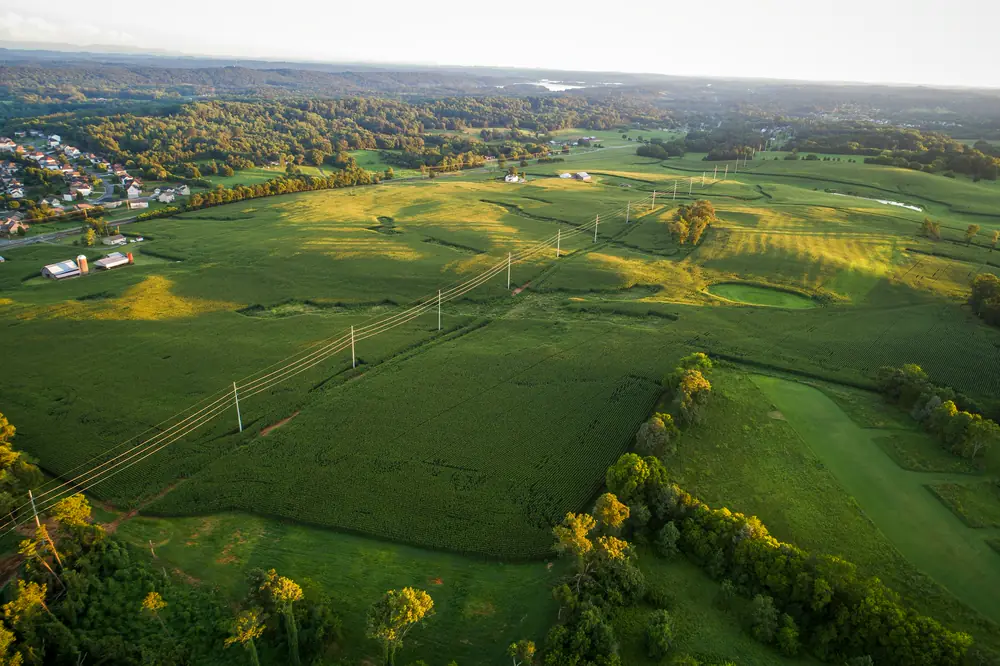
Aerial view of farmland with a power line crossing it

Drag the handle. Left is the land as you see it, right is what a survey turns it into: corners set, the line fixed, the easement on record. Stock aerial, sample plat.

Why the line matters more here

Sevier County land comes with old deeds, steep ground and corners that have not been seen since the family that set them. A fence built on a guess, a cabin pad that crosses a setback, or a closing held up for a missing plat: all of it costs more than the survey would have.

  • Licensed Tennessee land surveyors sign every plat.
  • Local records and local terrain. We work these counties every week.
  • One office to walk into, one number to call, and a reply by the next business day.
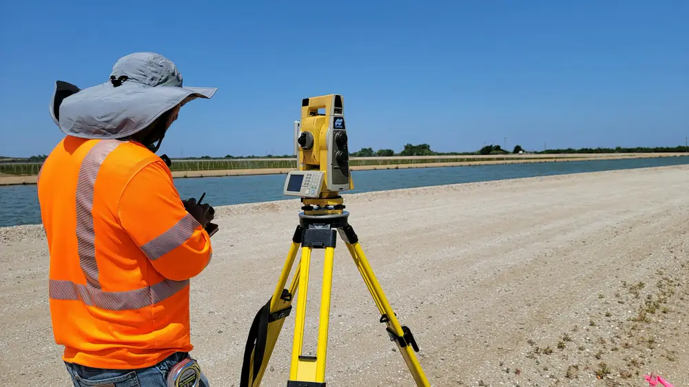
  • Topcon and Carlson equipment, with the field notes to back the plat up.

How a survey works

Four steps, start to finish. The longer version explains what to have ready.

  1. 1

    Tell us about the property

    Fill in the request form, call, or walk into the office with your deed. We ask what the survey is for, so the job fits the need.

  2. 2

    We research the records

    Deeds, plats and adjoining surveys from the Register of Deeds and our own files. Most of the answer is in the paper before we go out.

  3. 3

    Field work

    A crew finds or sets the corners, measures the lines and locates what matters: the house, the drive, the creek, the fence.

  4. 4

    You get the plat

    A signed plat, copies to your attorney, lender or builder, and a plain explanation of what we found.

Where we work

Sevier County first, and the counties that touch it. Tap a county to see the towns.

Sevier County, drawn from public elevation data, with our office marked. Heights are stretched one and a half times so the ridges read.
Service area mapSevier County and the neighboring counties of Blount, Knox, Jefferson and Cocke in East Tennessee, with the office in Sevierville.SevierBlountKnoxJeffersonCocke

Sevier County, home base

Our office is here. Every service, every town.

Hover or tap a county. Outside these counties, call and ask; we travel for larger jobs.

What people say

Rated 4.5 on Google. Read all reviews

  • "The crew that came out to do the job concentrated on perfection instead of adopting the attitude of that's close enough."

    David R., Google review
  • "These folks are very helpful and honest."

    Barbara H., Google review
  • "These guys are great, they have years experience and knowledge of the area."

    Aaron S., Google review

Questions people ask

How much does a land survey cost?

It depends on the acreage, the terrain and tree cover, how many old corners we can find, the quality of the deed records, and travel. We quote every job for free after a look at the records, so you know the cost before anything starts. We do not publish prices because no two properties are alike.

Do I need a survey to build a fence?

If you want the fence on your land, yes. Fences built from a guess or from the county GIS map end up in court or get moved. A boundary survey with the line flagged costs less than moving a fence.

Do I need a survey to buy a house in Tennessee?

The state does not require one, but many lenders and title companies do, and a title policy often excludes anything a survey would have shown, such as an encroachment. Ask your title company what your policy covers. For most buyers the survey is the cheapest part of the deal and the only one that shows what you are actually getting.

How long does a survey take?

We reply to requests by the next business day and tell you when we can schedule the field work. Research, field time and drafting depend on the records and the season. Tell us your deadline and we plan around it.

Can I move or pull up survey pins?

No. Moving, altering or removing a property corner monument is against Tennessee law, and it costs the next owner, buyer or neighbor a new survey. If a pin is in the way of a fence post or a driveway, call us before anything touches it.

Are the property lines on the county GIS map accurate?

No. GIS and tax maps are reference tools drawn from deeds and aerial photos. They are often off by many feet. Never build a fence, a house or a driveway from them.

More questions and answers

Request a quote

Tell us about the property. We look it up, call with any questions, and send a quote. No cost, no obligation.

Phone or email, whichever you check.
On your tax bill or the county property search. Skip it if you do not have it.

We reply by the next business day. For something urgent, call (865) 453-7970.