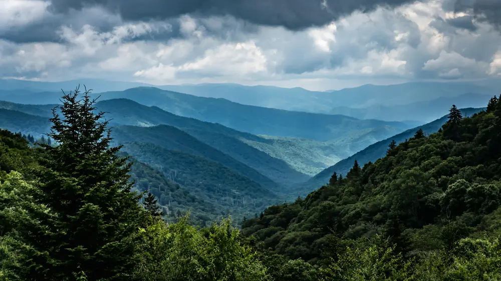
Land surveying in Gatlinburg and the mountains around it
Gatlinburg lots are some of the steepest and oldest in the county, with deeds that go back generations and corners on ridgelines nobody has walked in years. Finding those lines takes local knowledge and time in the woods. We have both.
The land
Narrow hollows, steep slopes, switchback roads and lots that climb hundreds of feet from the road to the back line. Rebuilding after the 2016 fires brought a wave of new construction on old lots.
What we do most in Gatlinburg
- Boundary retracement on steep mountain lots
- Topographic surveys for cabin and chalet design
- Site plans and staking for rebuilds
- As-built surveys for new cabins
- Large tract and easement surveys in the hollows
Plats and permits
Land inside Gatlinburg goes through the City of Gatlinburg planning department. County land goes through Sevier County. Plats are recorded at the Sevier County Register of Deeds in Sevierville.
Getting to the office
About 25 minutes from downtown Gatlinburg to the office in Sevierville. 926 Center View Rd, Sevierville. Monday to Friday, 8 AM to 4 PM. Directions.
Surveys Gatlinburg property owners order

Boundary survey
Find and mark your property lines and corners.
What it covers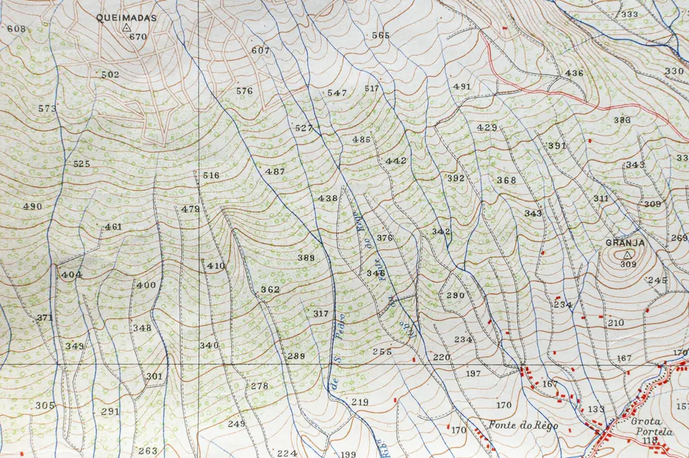
Topographic survey
Elevations, contours and features for design and grading.
What it covers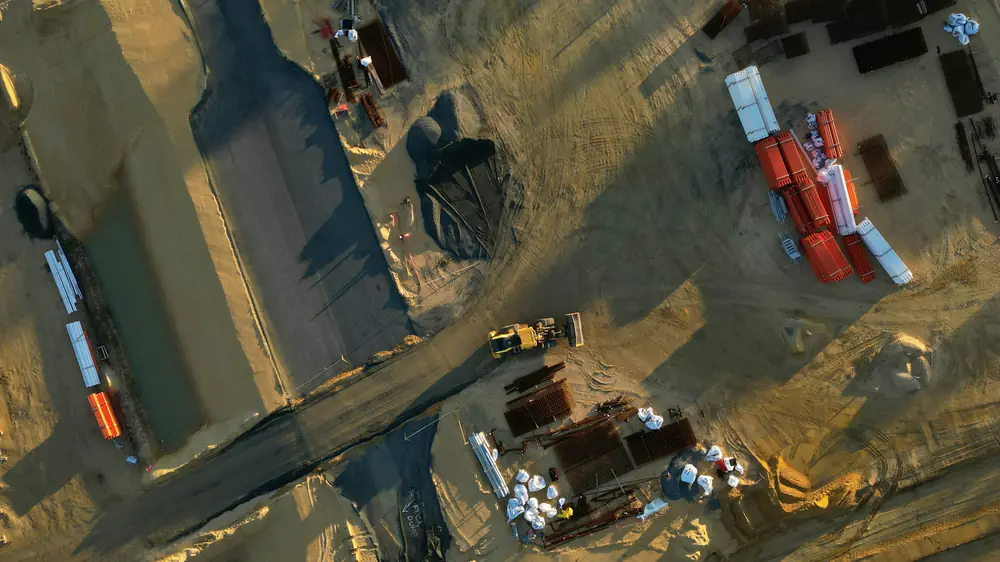
Septic and site plans for permits
The site plan a building or septic permit asks for.
What it coversLarge tract, farm and timber boundary
Boundaries on acreage, farms and timberland.
What it covers