ALTA/NSPS land title survey
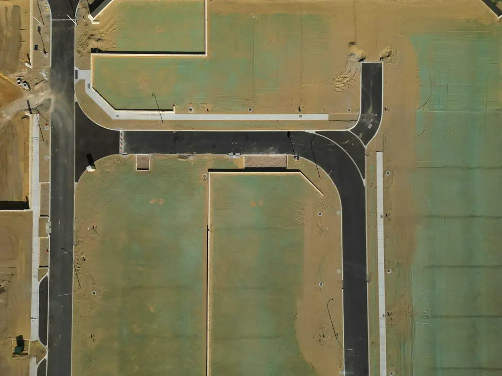
An ALTA/NSPS land title survey follows the national standards adopted by the American Land Title Association and the National Society of Professional Surveyors. Commercial buyers, lenders and title insurers use it because it ties the boundary, improvements, easements and title exceptions together on one certified drawing.
When you need it
- You are buying, selling or financing commercial property
- A title insurer requires survey coverage
- A lender asks for an ALTA survey with specific Table A items
- A developer needs a full picture of a site before design
What you get
- A survey certified to the current ALTA/NSPS standards
- The Table A items your lender or title company selects
- Easements and title exceptions plotted from the title commitment
- Copies to every party named in the certification
What we need from you
- The current title commitment with the exception documents
- The list of Table A items required
- The names of the parties to certify to
- The property address, parcel number and the deal timeline
You can also stop by the office in Sevierville with your deed or an old plat and we will look at it with you.
Timing and cost
ALTA surveys involve title review, field work and coordination with the title company, so start early in the deal. We tell you a realistic schedule once we see the commitment and the Table A list.
Every job is quoted after we look at the property and the records. There is no charge for the quote.
Questions about alta/nsps land title survey
What are Table A items?
Optional items on the ALTA/NSPS standards, such as flood zone, zoning, parking counts or utilities, that the client ticks as needed. Your lender or title company usually sets the list.
Do I need an ALTA survey for a house?
Rarely. A mortgage and title survey covers most residential closings. ALTA surveys are for commercial property and larger transactions.
Often ordered with it
Mortgage and title survey
The survey your lender or title company asks for at closing.
What it covers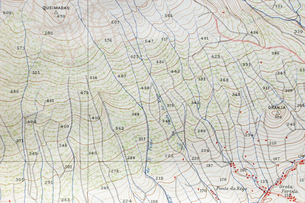
Topographic survey
Elevations, contours and features for design and grading.
What it covers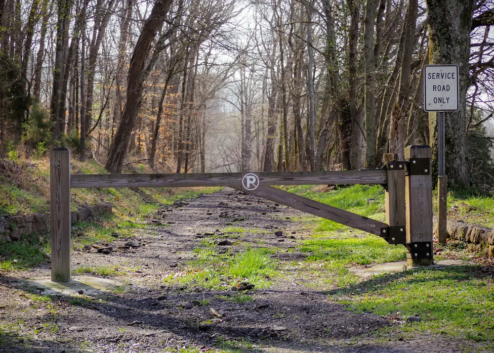
Easement and right-of-way survey
Driveways, access, utilities and road rights of way, located and described.
What it covers