Land surveying in Kodak and the Interstate 40 corridor
Kodak sits at the north end of the county where Sevier meets Knox and Jefferson, along the French Broad and the interstate. It is growing fast with subdivisions, warehouses and commercial sites, and that growth runs on surveys.
The land
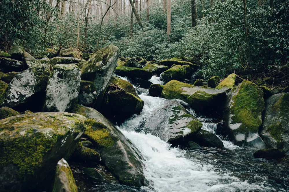
Gentler ground than the mountain towns: river bottom and rolling farmland along the French Broad and Douglas Lake, with flood zones along the river.
What we do most in Kodak
- Subdivision platting for new neighborhoods
- Commercial and ALTA surveys near the interstate
- Boundary surveys for homes and farms
- Elevation certificates near the river and lake
- Construction staking for commercial sites
Plats and permits
Kodak is unincorporated Sevier County. Plats go through the county planning office and are recorded at the Sevier County Register of Deeds. Land across the county line goes to Knox or Jefferson County.
Getting to the office
About 15 minutes down Winfield Dunn Parkway from Kodak to the office. 926 Center View Rd, Sevierville. Monday to Friday, 8 AM to 4 PM. Directions.
Surveys Kodak property owners order

Subdivision and platting
Dividing land into lots the county will approve and record.
What it covers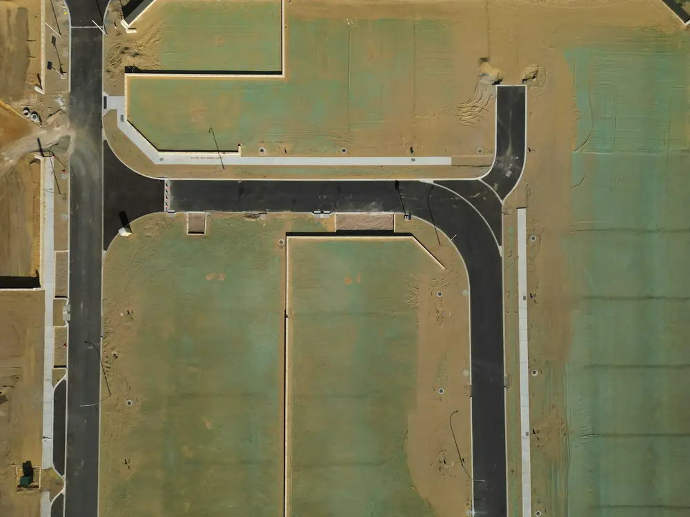
ALTA/NSPS land title survey
The detailed survey used for commercial property deals and loans.
What it covers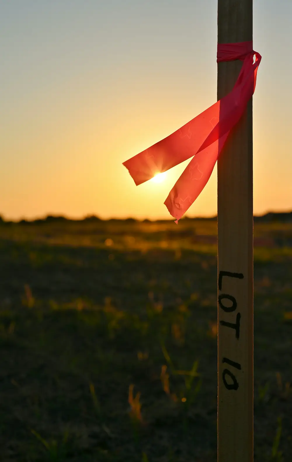
Boundary survey
Find and mark your property lines and corners.
What it coversFlood elevation certificate
The FEMA form your insurer or lender needs for flood coverage.
What it covers