Flood elevation certificate
An elevation certificate records how high a building sits compared to the base flood elevation on the FEMA map. Insurers use it to rate flood coverage and lenders and permit offices ask for it on properties in or near a flood zone. We measure the building and complete the FEMA form.
When you need it
- An insurance company asks for an elevation certificate to quote or renew flood coverage
- A lender requires one on a property in a flood zone
- A building permit in a flood area needs finished floor elevations
- You want to know whether a property near a creek or river is in a mapped zone
What you get
- A completed and signed FEMA Elevation Certificate
- Required photos of the building
- Copies for your insurance agent, lender or permit office
What we need from you
- The property address and parcel number
- Who asked for the certificate and when they need it
- Access to the building, including any crawl space or lowest floor
- A copy of any previous elevation certificate, if one exists
You can also stop by the office in Sevierville with your deed or an old plat and we will look at it with you.
Timing and cost
Insurance renewals and closings have dates attached. Tell us the date and we plan the site visit so the form is ready in time.
Every job is quoted after we look at the property and the records. There is no charge for the quote.
Questions about flood elevation certificate
Who can complete an elevation certificate?
A licensed land surveyor, engineer or architect. Our certificates are prepared and sealed by a Tennessee licensed surveyor.
Will it lower my flood insurance?
Sometimes. The certificate gives the insurer the real elevations instead of assumptions, which can change the rate either way. We report what we measure.
Can you remove my property from the flood zone?
That is a separate FEMA process called a Letter of Map Amendment, which we do not handle. The elevation certificate is often the first step and we can explain what it shows.
Often ordered with it
Mortgage and title survey
The survey your lender or title company asks for at closing.
What it covers
As-built and foundation location survey
Shows where a building or foundation actually sits on the lot.
What it covers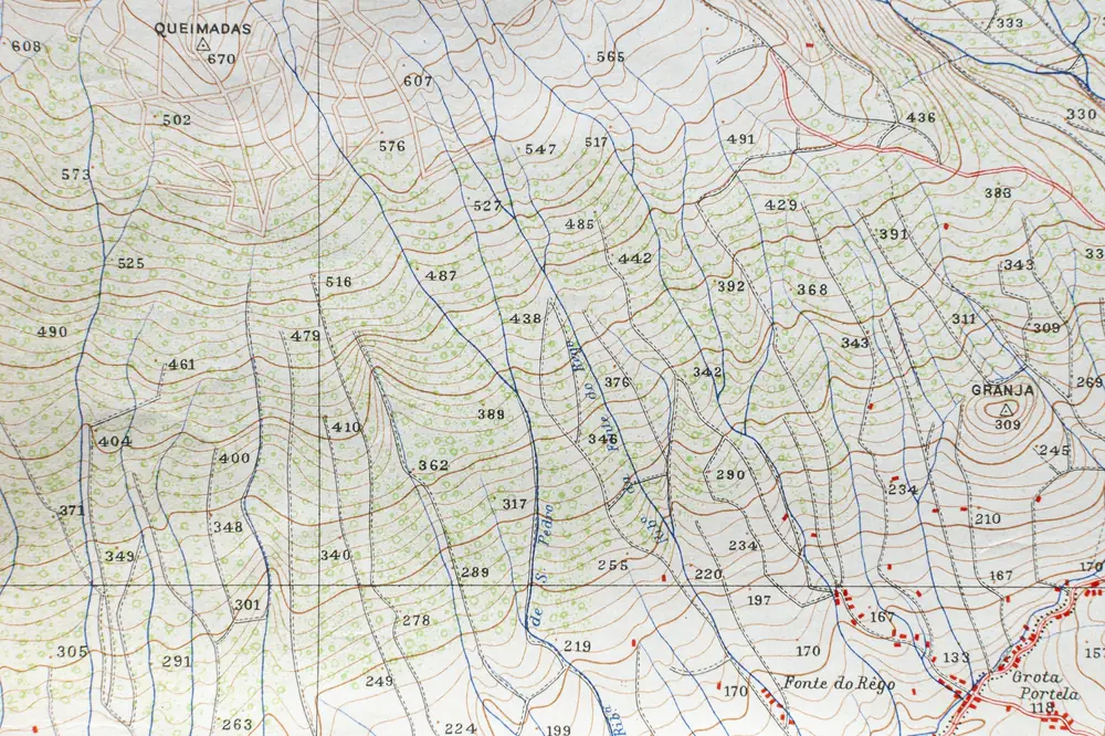
Topographic survey
Elevations, contours and features for design and grading.
What it covers