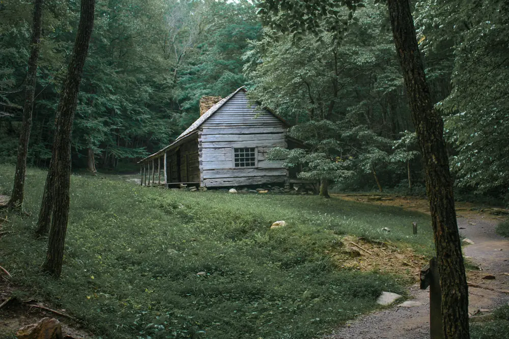
Land surveying in Pigeon Forge
Pigeon Forge builds constantly: cabins on the slopes above the parkway, rental developments, and commercial sites along the strip. Every one of them starts with a survey, and many come back for staking, foundation checks and elevation certificates.
The land
The valley floor along the Little Pigeon River is flat and partly in mapped flood zones. The hills on both sides are steep, with cabin lots cut into the slope and long driveways.
What we do most in Pigeon Forge
- Boundary and topographic surveys for cabin lots
- Site plans and staking for rental cabin builds
- Elevation certificates along the river
- Foundation location surveys before framing
- Commercial surveys on the parkway
Plats and permits
Land inside the city goes through the City of Pigeon Forge planning and building department. County land outside the city goes through Sevier County. Plats are recorded at the Sevier County Register of Deeds.
Getting to the office
About 15 minutes from the parkway in Pigeon Forge to the office in Sevierville. 926 Center View Rd, Sevierville. Monday to Friday, 8 AM to 4 PM. Directions.
Surveys Pigeon Forge property owners order

Boundary survey
Find and mark your property lines and corners.
What it covers
Construction staking
Stakes that put your plans in the right place on the ground.
What it covers
Flood elevation certificate
The FEMA form your insurer or lender needs for flood coverage.
What it covers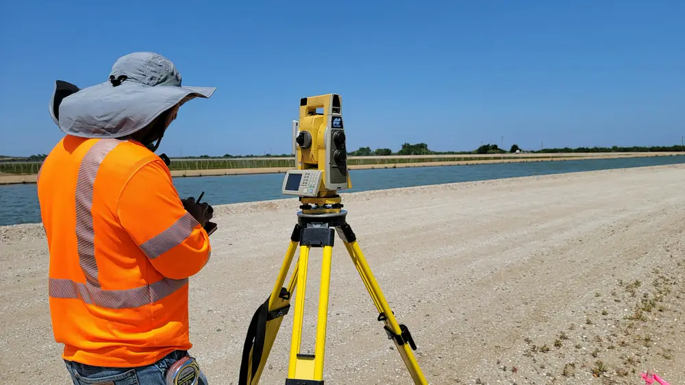
As-built and foundation location survey
Shows where a building or foundation actually sits on the lot.
What it covers