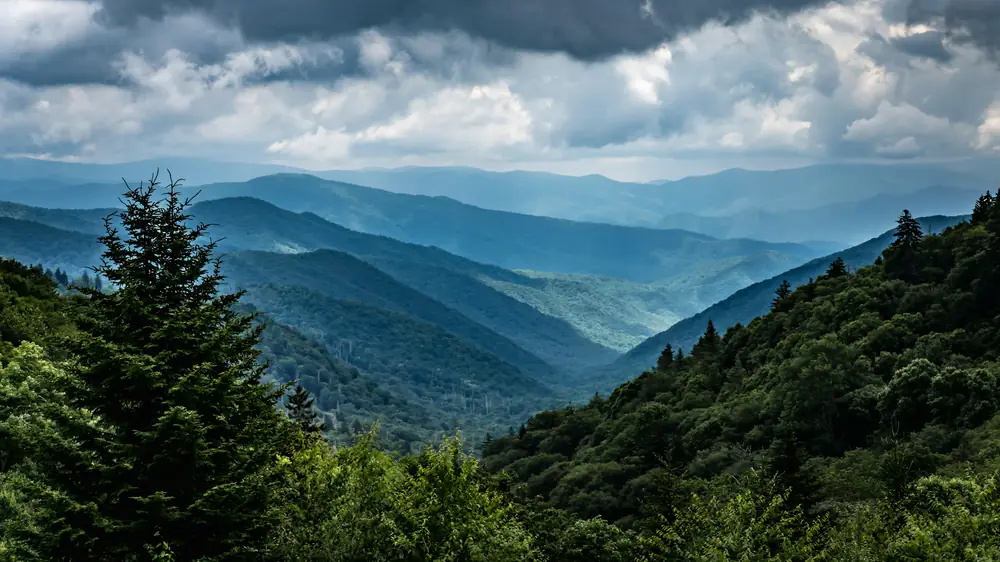
Sevier County first, and the counties around it
Our office is in Sevierville. We survey across Sevier County every week and cover Blount, Knox, Jefferson and Cocke counties for most jobs. Further out, call and ask.
Sevier County, home base
Our office is here. Every service, every town.
Blount County
Boundary, title, topographic and construction surveys across the county.
- Maryville
- Townsend
- Seymour
- Walland
Knox County
Boundary, title, topographic and construction surveys across the county.
- Knoxville
- Farragut
- Powell
Jefferson County
Boundary, title, topographic and construction surveys across the county.
- Dandridge
- Jefferson City
- White Pine
Cocke County
Boundary, title, topographic and construction surveys across the county.
- Newport
- Cosby
- Parrottsville
Hover or tap a county. Outside these counties, call and ask; we travel for larger jobs.
Town by town
What the land is like there, the work we do most, and which office handles plats and permits.
Sevierville
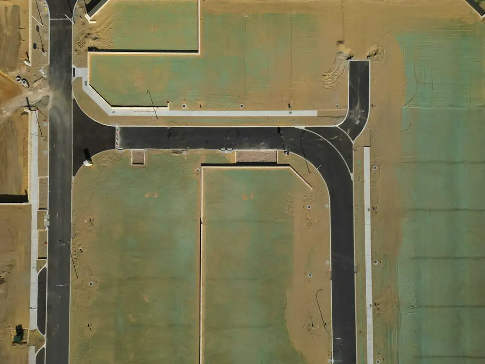
Sevierville mixes river bottom along the Little Pigeon and the French Broad with the first ridges toward the mountains. Flood zones follow the rivers; subdivisions and commercial sites line the parkway corridors.
Pigeon Forge
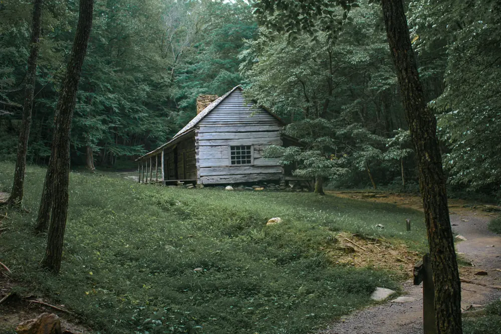
The valley floor along the Little Pigeon River is flat and partly in mapped flood zones. The hills on both sides are steep, with cabin lots cut into the slope and long driveways.
Gatlinburg
Narrow hollows, steep slopes, switchback roads and lots that climb hundreds of feet from the road to the back line. Rebuilding after the 2016 fires brought a wave of new construction on old lots.
Wears Valley
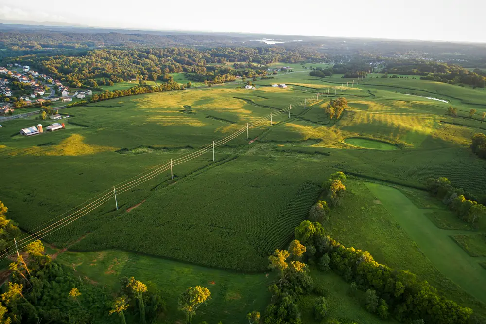
A long valley floor of former farms with Cove Mountain and the foothills on both sides. New cabins sit on the slopes; the valley carries the creeks and the road.
Kodak
Gentler ground than the mountain towns: river bottom and rolling farmland along the French Broad and Douglas Lake, with flood zones along the river.
Seymour
Rolling foothills and small valleys between Chapman Highway and the mountains, with creeks that carry mapped flood zones in places.